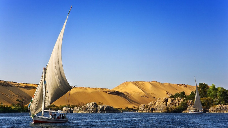
Egypt is bordered by Libya to the west, Sudan to the south, and Israel to the northeast. The border with Sudan includes the Ḥala'ib Triangle along the Red Sea and Bi'r Ṭawil further inland. Egypt has a Mediterranean coastline of about 620 miles (1,000 km) to the north and a coastline on the Red Sea and the Gulf of Aqaba of about 1,200 miles (1,900 km) to the east. Egypt's geography relates to two regions: North Africa and West Asia.
The country has coastlines on the Mediterranean Sea, the River Nile, and the Red Sea. Its total area is 1,002,450 km2 (387,050 sq mi), with the longest straight-line distance from north to south measuring 1,420 km (880 mi) and from east to west measuring 1,275 km (792 mi). Egypt has over 2,900 km (1,800 mi) of coastline on the Mediterranean Sea, the Gulf of Suez, and the Gulf of Aqaba, and an Exclusive Economic Zone of 263,451 km2 (101,719 sq mi).
Egypt is mostly desert, with only 3.5% of the total land area being cultivated and permanently settled, totalling 35,000 km2. The country is situated within a wide desert band that extends from Africa's Atlantic Coast to southwest Asia.
There are four distinct geographic regions in Egypt. These are the Sinai Peninsula, the Western Desert, the Eastern Desert, and the Nile Valley. The geological history of Egypt has led to the formation of four major physical regions: the Nile Valley and Nile Delta, the Western Desert (stretching from the Nile West to the Libyan border), the Eastern Desert (extending from the Nile Valley to the Red Sea coast), and the Sinai Peninsula. An important historical reference on this topic is "The Principles and Objects of Geology, with special reference to the Geology of Egypt" (1911) by W. F. Hume.
